Three.js rendering layer
Presents the aquifer as interactive 2D, 3D, and top-view scenes with wells, layers, flow direction, and monitoring overlays.

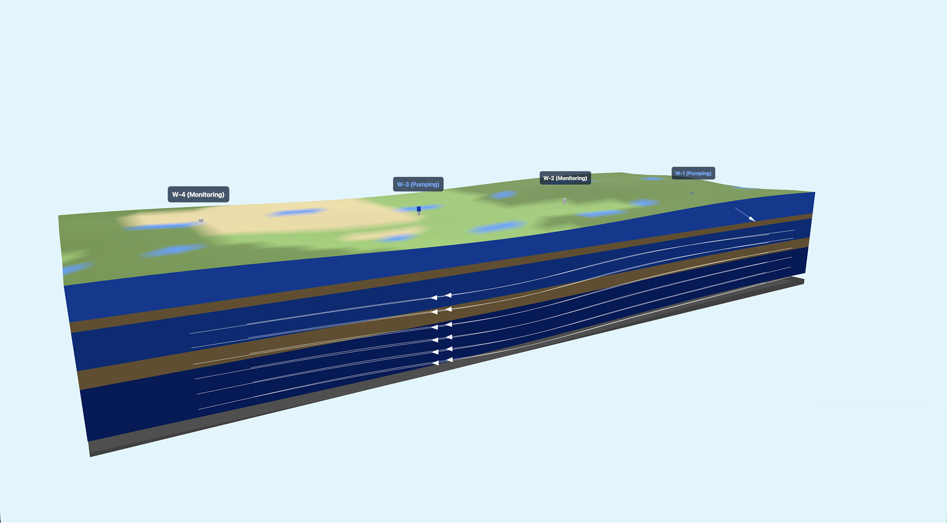
Simulate what goes underneath, providing spatial views for better groundwater understanding and monitoring through accurate representations of working models.
Data source: Mock Data
Boundary conditions define how water enters, leaves, and interacts within the model. These assumptions control the flow patterns and results you see from the simulation.
The groundwater flow simulation combines browser visualization, Python model setup, and a numerical groundwater solver to turn field assumptions into readable spatial outputs.
Presents the aquifer as interactive 2D, 3D, and top-view scenes with wells, layers, flow direction, and monitoring overlays.
Translates grid size, aquifer layers, recharge, river boundaries, pumping wells, soil types, and screen levels into MODFLOW-ready inputs.
Solves groundwater flow behavior, hydraulic head, drawdown response, and boundary interactions across the modeled aquifer cells.
Connects water-quality readings, discharge settings, area of influence, and model outputs into the visual controls shown in the simulation.