Chart Parameters
Parameter
Well
Time Range
Explore temporal trends for selected parameters across wells. Adjust filters to customize the chart view.

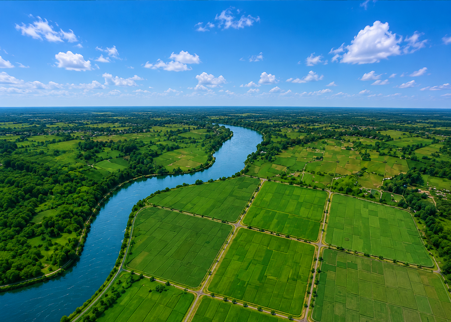
Simulate groundwater response across wells and field zones , proximity layers, and mock parameter readings from AQUASMART Mini.
AQUASMART Mini
| Well ID | Discharge | DO (mg/L) | pH | Temp (°C) | Salinity (ppt) | TDS (mg/L) | EC (µS/cm) | GW Level (m) | Status |
|---|---|---|---|---|---|---|---|---|---|
| Online |
Explore temporal trends for selected parameters across wells. Adjust filters to customize the chart view.
IDW estimates unsampled groundwater values from surrounding monitoring wells, helping visualize parameter distribution.
IDW provides smooth, continuous surfaces that help visualize parameter distribution and identify potential areas of concern.
View the water score from the current groundwater dataset and recent trends.